Laser Scanning & 3D Modelling

Laser Scanning Services

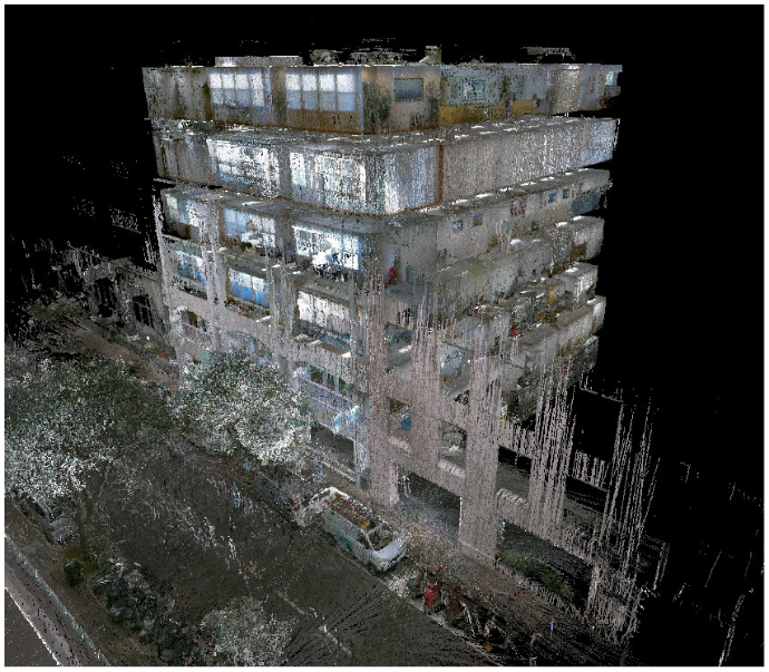
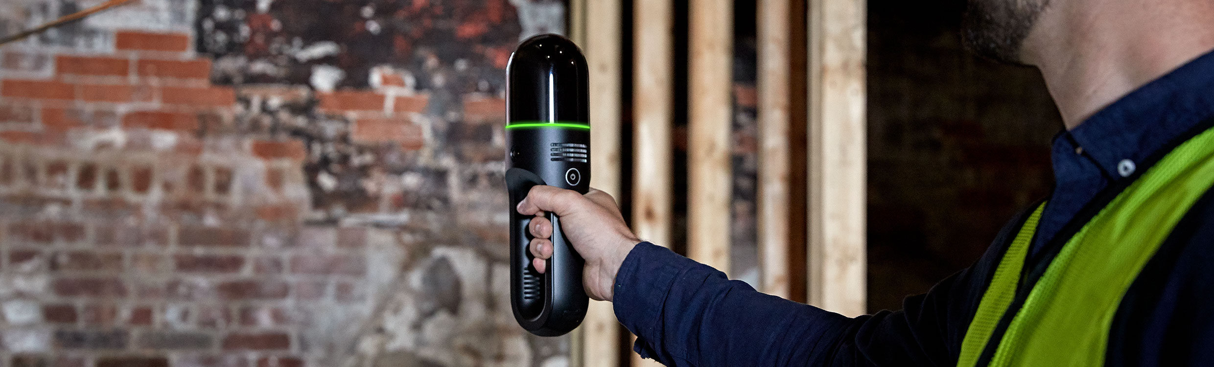
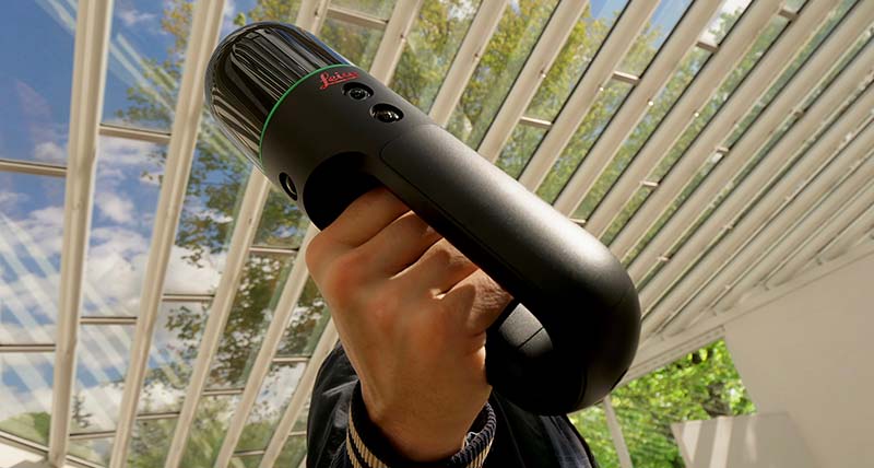
Our laser scanner has transformed data collection in Bermuda. Highly detailed 3D data is rapidly acquired, perfect for large or complex structures and meaning reduced site time.

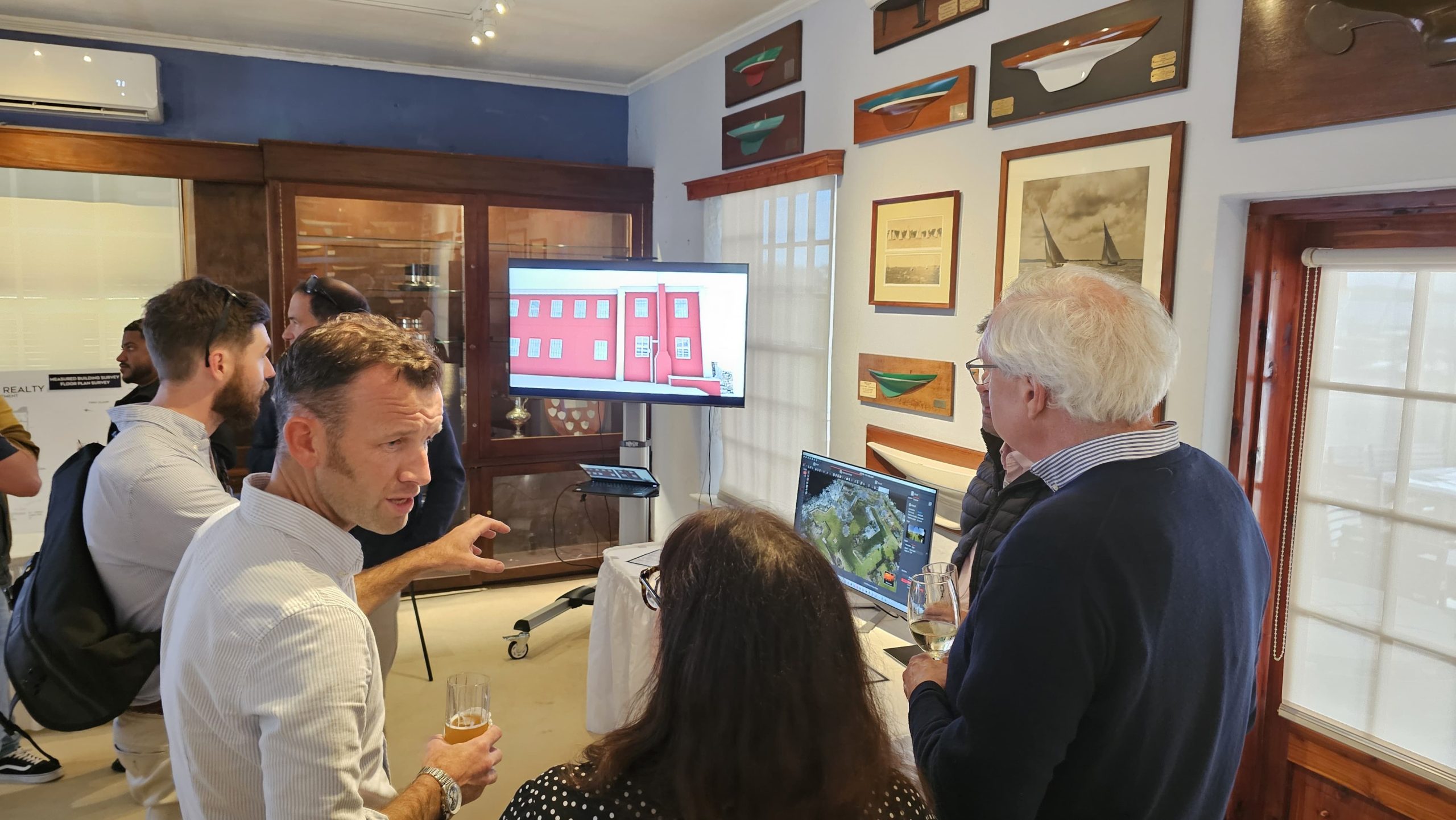
When it comes to modern technologies, Bermuda Realty are there. Investing in the latest laser scanning technology means we are able to offer the most advanced survey techniques available on the island.

Laser scanning allows data to be collected in ways not previously possible on Bermuda. It allows us to survey properties at lightning-fast speed, meaning hugely decreased site time, more accurate surveys with more information, and using our extensive expertise you receive a deliverable that is tailored to your needs.

Sounds expensive? The price is broadly comparable with current methods – just better and faster. We don’t sell you the cheapest survey - we sell you the best survey!

Laser scanning – an introduction

• The laser scanner records up to 420,000 measurements a second to collect amazing 3D data. The millions of points created form a “point cloud”. Many point clouds can be joined together to make one point cloud of whole project.

• Our Leica BLK2GO is a mobile unit, so survey information is collected as we walk around the property. The survey work is quick, resulting in increased speed and decreased disruption for you.

Benefits of laser scanning

The laser scanner is:

• Quicker than traditional techniques

• More accurate than traditional techniques

• Efficient

• Able to handle complex spaces easily

All the data needed can be collected in one short site visit, meaning that we can be in and out of your property in minutes or hours – not days!

What do we do with the data?

• We have the specialist software to successfully process the data, and more importantly we know how to use it! We locate the data in Bermuda National Grid, giving the correct position of the information.

• Using our skill and experience, we can ensure accurate data processing and output. In tandem with the scanner, we use the latest Total Station and GPS technology to check and position the data.

• 3D scans require digitising & drafting of linework to create CAD drawings. We have the skills and the software to do this quickly and efficiently.

• All data is quality checked

• 3D modelled data is checked against point cloud to ensure accuracy.

Once the data is collected, you don’t have to handle or worry about the data – we will talk to your architect or engineer to ensure the right information is delivered in the right format, cutting out frustrations and errors.

We can deliver the data in many ways, from a traditional 2D floor plan or elevation drawing, to a cutting-edge 3D Revit model.

Why choose Bermuda Realty?

• Is it worth getting the survey done just because it is the soonest availability or the cheapest? Think of the time and money sorting out a survey that doesn’t meet your needs.

• It is worth paying for a good survey, not a cheap survey, and getting it right first time.

• Choosing Bermuda Realty Land Survey team means you will receive the best quality survey containing the information you need.

Contact our Property Management Team

Use the contact form
or call 441-247-1844

Looking for a particular service? Us our contact us form.

11 Par-la-Ville Road Hamilton HM HX