Land Surveying

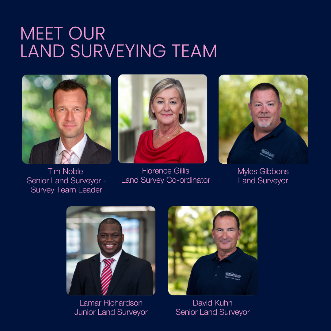
Bermuda's largest and most experienced surveying team

Accurate land surveying is crucial for effective land use and planning. Bermuda Realty’s Land Surveys division employs both traditional methods and advanced GPS technology to provide precise measurements and boundary determinations. Our services include subdivisions, boundary surveys, topographical mapping, and setting out for construction projects. With over forty years of experience and access to extensive historical land records, our registered land surveyors deliver reliable and detailed reports that help you avoid conflicts, encroachments, and disruptions. Rely on Bermuda Realty for expert land surveying services that protect your property investments. Knowing your boundaries is a critical aspect of real estate. With accurate land surveys, you’re in a better position to ensure wise land-use and planning. That makes it critical to enlist the expertise of Bermuda Land Surveys.

Continue Reading

When selling a property, having an up-to-date boundary survey and deed plan is essential. Our team, with decades of experience, provides professional services for both residential and commercial clients.

Essential for planning and development, topographic surveys provide detailed information about the natural and man-made features of your property, including elevation and terrain. Whether for residential or commercial projects, our experienced team delivers precise and professional topographic survey services to ensure your project's success.

Your rental income relies on accurate and up-to-date floor plans Our laser scan technology allows us to quickly measure buildings of any size and create high-quality and clear lease plans for your property.

Developing or renovating? Inaccurate plans are likely to increase your costs. Using our advanced laser scanner, we create accurate plans for any building, including the older, quirkier structures often found in Bermuda.

Our laser scanner has transformed data collection in Bermuda. Highly detailed 3D data is rapidly acquired, perfect for large or complex structures and meaning reduced site time.

10,000+

plans in our archives

200+

years of combined experience across our survey team

420,000

data points collected per second by our laser scanner

Land Survey Key Contacts

Tim Noble

Senior Land Surveyor
RICS Chartered Surveyor
441-247-1850 | tnoble@brcl.bm
Call Email

Florence Gillis

Land Survey Co-ordinator
441-247-1845 | tfgillis@brcl.bm
Call Email

what People Are Saying

Get In Touch with Our Land Survey Team

Looking for a particular service? Us our contact us form.

11 Par-la-Ville Road Hamilton HM HX